Historic Photos
These have been found through Historic England's aerial photography map (found here:Historic England Aerial Photo Explorer )
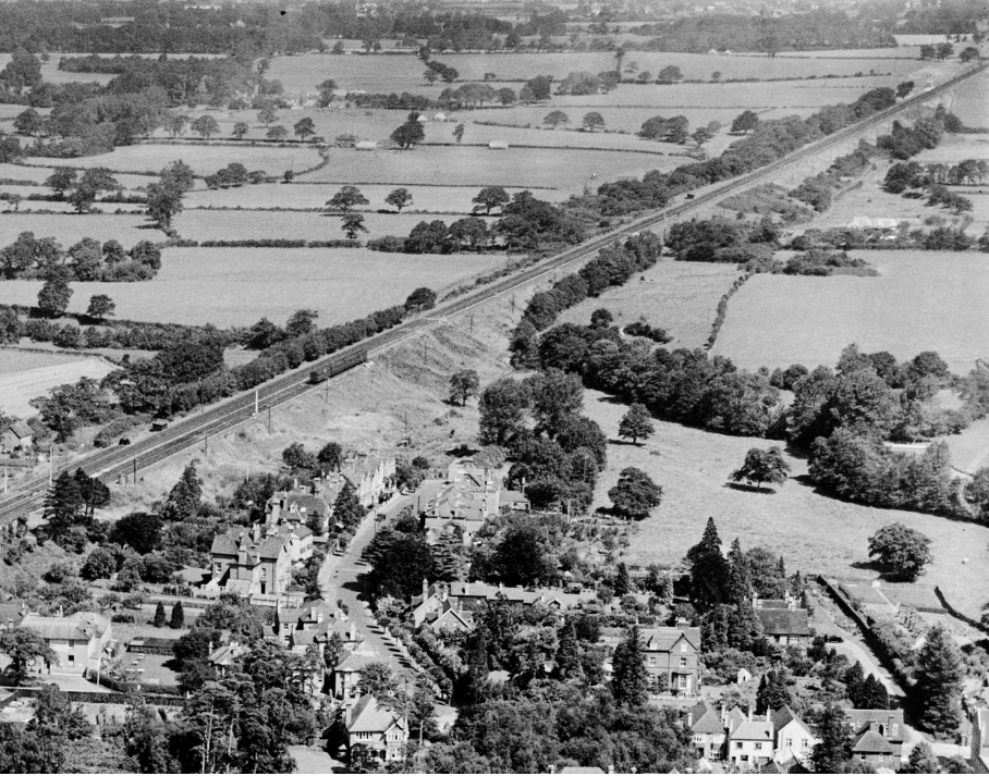
1932:
1953:
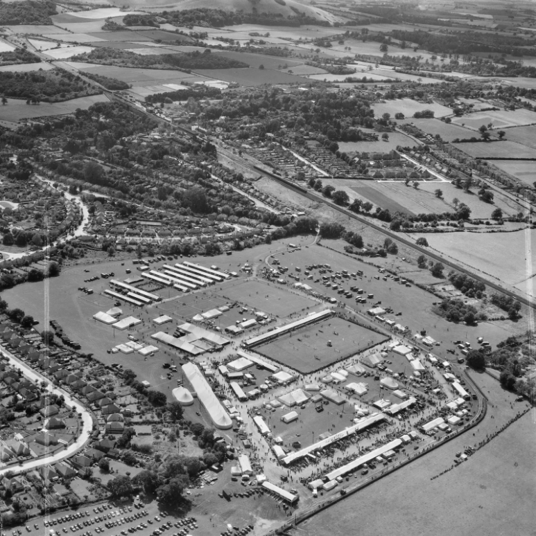
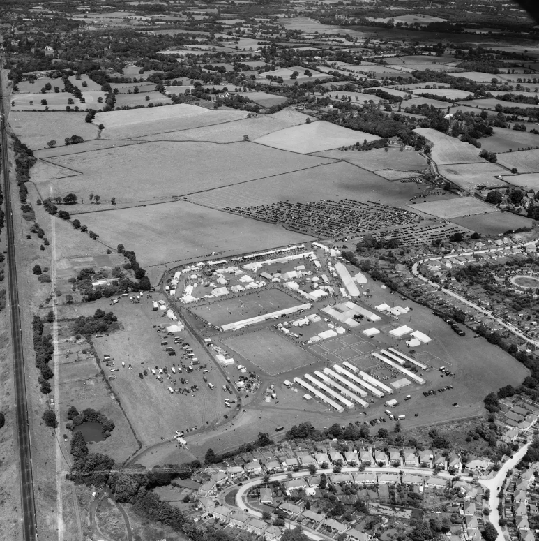
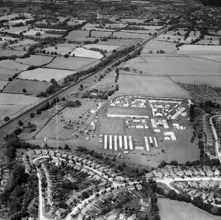
These images tell us that some of the land was split up into different plots in 1953. There is evidence of a wall in the woods today that follows a similar path, could it have been from this period? If you know what the land was used for please get in touch!
If you would like to be involved, give us an email at claypitwood@proton.me We'd love to hear from local people about their connection with the woods or anyone who is passionate about the wildlife around them.
This webite is a work in progress, if you are interested in attending future events, please give us an email.